The world faces an escalating crisis of extreme weather events and natural disasters, leaving devastating impacts on communities globally. For over a decade, our dedicated teams at Google have been committed to providing vital information when people need it most, often during their darkest hours.
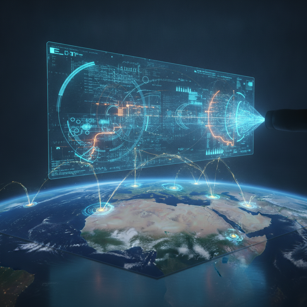
Through pioneering AI-based research, we’ve transformed our efforts from simply offering timely information to actively forecasting and detecting critical events. This includes everything from wildfires and floods to earthquakes and severe weather, all made accessible through Google products used by billions.
We believe that no one should ever be caught off guard by a natural disaster. Our north star in crisis resilience is to deliver actionable information that can truly save lives and protect livelihoods, working hand-in-hand with governments and organizations worldwide.
Predicting the Unpredictable: AI at the Forefront
Just a decade ago, reliable flood prediction on a large scale seemed like an impossible dream. Our ambitious journey began in 2018 with a pilot program in Patna, India, driven by the hypothesis that machine learning could revolutionize flood forecasting.
Since then, we’ve made incredible strides, culminating in our global model breakthrough for river floods, published in the prestigious journal Nature. This allowed us to expand into data-scarce regions, building upon 20 years of public reports to create a high-quality floods dataset through our new AI methodology, Groundsource.
Today, Flood Hub delivers critical forecasts to 2 billion people across more than 150 countries, covering areas prone to significant flood events. River flood forecasts are available up to seven days in advance, while our cutting-edge flash flood predictions in urban areas provide up to 24 hours’ notice of these rapid-onset disasters.
To further empower global efforts, we’ve open-sourced both our flash floods dataset and our hydrology framework. This allows researchers, businesses, and local experts to build and innovate new solutions, fostering a collaborative approach to disaster preparedness.
For extreme weather events like cyclones, our WeatherNext 2 model provides unprecedented accuracy. It can generate highly detailed hourly forecasts for the entire globe within minutes, predicting crucial variables such as wind speed, direction, precipitation, and pressure with remarkable precision.
During the 2025 hurricane season, WeatherNext 2 successfully predicted the path and intensity of cyclones days in advance with high confidence. This advanced capability gives communities and emergency services invaluable lead time to prepare and protect lives.
When wildfires ignite, we leverage satellite imagery to provide AI-based boundary tracking directly in Google Search and Maps. We’ve expanded our coverage to 34 countries, including seven new additions this year, offering crucial real-time information to affected regions.
To enhance future fire detection, we’ve co-developed FireSat in collaboration with the Earth Fire Alliance and Muon Space, supported by Google.org and other key partners. The first protoflight satellite was launched last year, paving the way for a full constellation of 50+ satellites capable of detecting wildfires as small as 5×5 meters anywhere on Earth, with updates every 20 minutes.
Addressing the growing challenge of extreme heat, we’re applying AI to satellite and aerial imagery to map building reflectivity across urban environments. This innovative research, recently published, helps cities understand how to reduce surface temperatures by strategically implementing “cool roofs.”
Bringing Insights to Life: Actionable Information for All
While individual models are powerful, many real-world challenges demand a more comprehensive perspective. Answering complex questions like “Where will a hurricane make landfall, which communities are most vulnerable, and how should they prepare?” requires a holistic understanding of imagery, population data, and environmental factors.
To address this, we’ve unified our climate and geospatial models within the Google Earth AI collection of models and datasets. This powerful resource enables “planetary intelligence,” assisting businesses and organizations in tackling critical issues like disaster response and continuous planetary monitoring.
During crises, our SOS Alerts on Search and Maps aggregate relevant updates from authorities and trusted media outlets, providing a single source of truth. We also partner with authorized alert originators in over 90 countries to amplify emergency messages through Public Alerts.
The impact of this information is undeniable, with crisis updates garnering billions of views. Last year alone, Google helped connect people with vital crisis information over 10 million times per day, on average, demonstrating the immense reach and necessity of these tools.
For information to be truly useful, it must also be actionable. For example, Extreme Heat alerts on Search provide warnings for users in over 100 countries, complete with safety tips from the Global Heat Health Information Network.
The Android Earthquake Alerts System automatically detects tremors and alerts Android users before shaking begins, offering precious seconds to seek safety. Furthermore, up-to-date air quality data is readily available on Google Maps in over 30 countries, helping users minimize their exposure to pollution.
Global Partnerships: Amplifying Our Impact
Building a resilient global community against natural disasters is a monumental task that necessitates broad collaboration. By working closely with governments, UN agencies, non-profit organizations, scientists, and first responders, we can collectively safeguard communities everywhere.
Our flood forecasts have been instrumental in empowering anticipatory action, such as in Nigeria and Bangladesh. There, organizations like GiveDirectly and the International Rescue Committee used our predictions to distribute emergency cash to communities, enabling them to evacuate and protect their belongings ahead of rising waters.
During Hurricane Melissa, the U.S. National Hurricane Center utilized our WeatherNext model, accurately predicting its Jamaican landfall five days in advance. This crucial early warning allowed the Met Service in Jamaica to notify the public effectively, facilitating timely preparations.
Beyond technology, Google.org plays a vital role, partnering with local organizations globally and providing essential funding for disaster recovery efforts. This holistic approach ensures that support reaches communities not just before, but also after, a natural disaster strikes.
Over the past decade, we’ve driven significant advancements in AI-based research and solutions for climate resilience, consistently delivering actionable and timely information worldwide. I remain optimistic that through continued innovation and strong partnerships, we will move ever closer to a world where natural disasters no longer take anyone by surprise.
Source: Google Blog (The Keyword)