Wildfires have emerged as one of the most destructive and unpredictable environmental challenges of our time, escalating in frequency and intensity across the globe. These formidable blazes not only devastate natural landscapes and wildlife habitats but also pose immense threats to human lives, infrastructure, and economies. As the planet warms, the urgent need for advanced tools to combat these infernos has never been more critical.
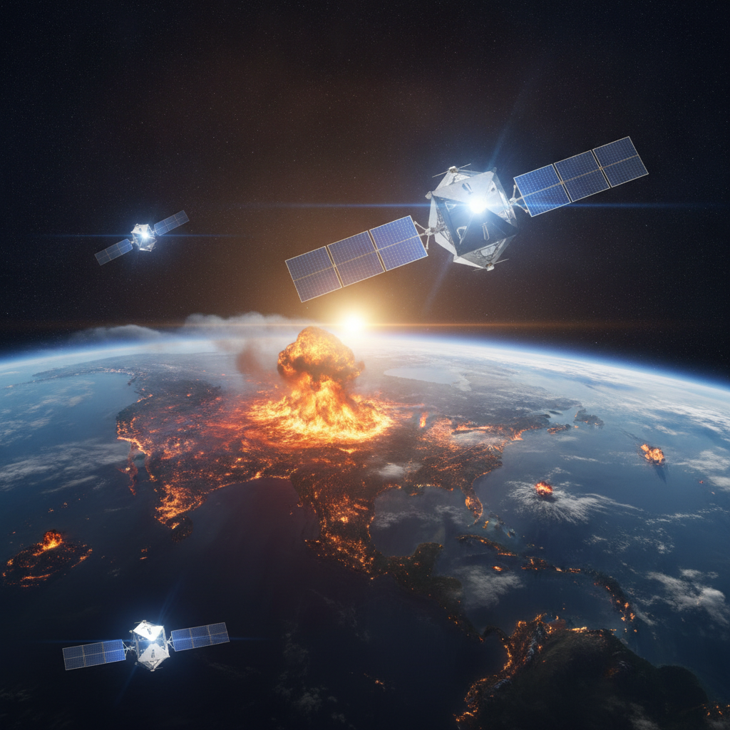
In a significant leap forward for global disaster management, we’re excited to announce a powerful new addition to the arsenal fighting against these destructive events. Three cutting-edge satellites have successfully launched and are now actively providing unprecedented eyes in the sky to combat wildfires worldwide. This collaborative effort marks a pivotal moment, ushering in a new era of wildfire detection, monitoring, and response.
A New Era of Wildfire Intelligence from Space
These sophisticated new sentinels are not just another set of eyes; they represent a significant upgrade in our capacity to understand and react to wildfire threats. Developed through a testament to innovation and partnership, their mission is specifically tailored to provide actionable intelligence to those on the front lines. Their launch is a direct response to the escalating global wildfire crisis, promising faster detection and more accurate tracking.
Operating in strategic orbits, these satellites are designed to offer frequent revisits over wildfire-prone areas, ensuring continuous surveillance. This constant vigilance is key to identifying potential threats at their earliest stages, often before they become uncontrollable conflagrations. The goal is to dramatically improve containment chances by shrinking the window between a fire’s ignition and the dispatch of firefighting resources.
Unlike previous generations, these state-of-the-art spacecraft are equipped with an array of highly specialized sensors engineered for optimal performance in dynamic fire environments. Their superior capabilities are set to revolutionize how fire agencies plan their strategies and allocate vital resources. This innovative approach promises to empower emergency responders with critical data like never before.
Unpacking the Technology: Eyes That See Through Smoke
What truly sets these new satellites apart are their advanced thermal and infrared imaging capabilities, crucial for effective wildfire management. These specialized instruments can peer through dense smoke and darkness, detecting minute temperature anomalies that often signify a nascent fire. This ability allows for the identification of hotspots invisible to conventional optical cameras, even in challenging conditions.
The data streamed from these orbiting observatories provides an intricate tapestry of information, including precise fire perimeters, intensity levels, and real-time spread direction. By analyzing changes in heat signatures, scientists and responders can track a blaze’s progression with remarkable accuracy. This continuous flow of high-resolution data ensures that ground teams receive the most up-to-date intelligence possible.
Furthermore, the increased frequency of data collection thanks to this new constellation allows for dynamic modeling of fire behavior. This means responders can not only see where a fire is now but also predict its likely path and growth over the coming hours. Such predictive power is invaluable for making proactive decisions regarding evacuations, resource deployment, and protecting critical infrastructure.
From Orbit to Action: Empowering Ground Teams
The true impact of these satellites is realized when their vast streams of raw data are transformed into actionable insights for incident commanders and emergency services. This is where advanced analytics platforms, often leveraging artificial intelligence and machine learning, play a critical role. These systems rapidly process the satellite imagery, filtering out noise and highlighting critical information, delivering it in an easily digestible format.
By integrating this sophisticated satellite data with existing geographical information systems (GIS), ground sensors, weather forecasts, and topographic maps, a holistic operational picture emerges. This comprehensive view helps local, regional, and national agencies collaborate more effectively, ensuring a coordinated response. Such robust data integration is vital for managing complex, fast-moving wildfire scenarios across vast and varied landscapes.
The benefits for emergency responders are manifold, directly impacting their ability to safeguard lives and property. From directing ground crews and aerial tankers to identifying safe evacuation routes, this enhanced intelligence provides a crucial tactical advantage. Ultimately, these satellites contribute significantly to minimizing the destructive potential of wildfires and protecting vulnerable communities.
- Rapid Ignition Detection: Pinpointing new fires faster than ever, enabling initial attack teams to respond before they grow uncontrollably.
- Dynamic Fire Mapping: Providing continuous, high-resolution maps of active fire zones, including hot spots and smoldering areas within burn scars.
- Predictive Modeling: Feeding data into sophisticated models to forecast fire growth and behavior, aiding in strategic planning and resource allocation.
- Enhanced Evacuation Planning: Offering clear, real-time intelligence to inform safer and more efficient evacuation orders for communities at risk.
- Post-Fire Damage Assessment: Assisting in accurately mapping burned areas and assessing environmental impact for recovery and restoration efforts.
Building Resilience: A Collaborative Future for Wildfire Defense
The deployment of these three new satellites represents a profound step forward in our global commitment to wildfire resilience and environmental protection. They are not merely technological marvels but vital instruments in our collective effort to adapt to changing climate patterns and mitigate their most destructive consequences. This strategic investment in space-based observation underscores a proactive stance against an escalating global threat.
Looking ahead, the success of such initiatives relies heavily on continued innovation and robust collaboration between governments, scientific institutions, and technology partners. Making this sophisticated data accessible and understandable to fire managers around the world is paramount, ensuring that advanced insights translate into effective action on the ground. Partnerships like these are crucial for scaling solutions and sharing knowledge globally.
As these new eyes in the sky begin their critical work, they offer a beacon of hope for communities living in the shadow of wildfire risk. They empower us with unparalleled knowledge, enabling quicker responses, smarter strategies, and ultimately, a more prepared and resilient future. With every orbit, these satellites reinforce our determination to protect our planet and its inhabitants from the devastating impact of wildfires.
Source: Google News – AI Search
